


The frozen continent of Antarctica, a land of stark beauty and extreme conditions, has always held secrets. For centuries, its vast ice sheets have concealed a topography far more complex than we could imagine. Now, thanks to groundbreaking new mapping technology, scientists have unveiled a colossal, never-before-seen world hidden beneath miles of ice – a buried landscape of giant mountains, sprawling valleys, and ancient riverbeds that paint a vivid picture of Antarctica’s dramatic past.
This isn’t just a geographical curiosity; it’s a critical missing piece in our understanding of how Antarctica’s ice sheets have evolved and, crucially, how they might behave in a warming world. The detailed topography of the bedrock directly influences ice flow, stability, and ultimately, global sea levels.
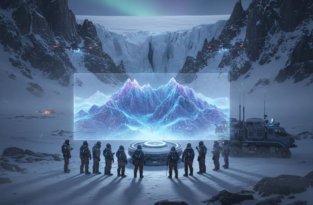
Peering Through the Permafrost: The Technology Behind the Discovery
Unlocking Antarctica’s subterranean secrets is no easy feat. The sheer scale and thickness of the ice (up to three miles deep in places) make direct observation impossible. The breakthrough comes from advanced radar-echo sounding (RES) technology combined with satellite gravity data.
Here’s how it works:
- Airborne Radar: Specialized aircraft fly systematic grids over the continent, emitting radio waves that penetrate the ice. These waves bounce off the bedrock beneath and return to receivers on the plane.
- Signal Analysis: Scientists analyze the time it takes for the radar waves to return and the strength of the echoes. This allows them to create a detailed profile of the ice thickness and the shape of the landmass below.
- Gravimetric Mapping: Satellites measure tiny variations in Earth’s gravitational field. Denser rock (like mountains) exerts a stronger gravitational pull than less dense ice or sediment. By combining radar with gravity data, researchers can refine their models of the sub-glacial landscape with unprecedented accuracy.
This painstaking process has allowed researchers to construct the most comprehensive bedrock map of the continent to date, revealing features previously only theorized.
Antarctica’s Lost Topography: A World Frozen in Time
What the new map reveals is breathtaking. Imagine mountain ranges rivaling the Alps or the Rockies, towering thousands of feet high, yet completely covered by ice. These are not merely hills; they are significant geological structures, complete with jagged peaks, deep valleys, and extensive plains.
For millions of years, before Antarctica became the frozen continent we know today, this landscape was exposed. Rivers carved valleys, and tectonic forces pushed up vast mountain chains. This “buried world” offers a window into a time when Antarctica was greener, possibly home to forests and diverse wildlife, before the relentless march of glaciation transformed it into an icy desert. The map shows evidence of:
- Massive Mountain Systems: Undulating ranges that span hundreds of kilometers, acting as natural barriers for ice flow.
- Deep Basins and Troughs: Areas where ancient lakes or slow-moving glaciers would have resided, now filled with thick ice.
- Sub-glacial Rivers: Channels suggesting pathways where meltwater once flowed, influencing the dynamics of the ice above.
This intricate topography plays a fundamental role in how the ice sheets behave today.
Why This Discovery Matters: Implications for Climate Science
The unveiling of Antarctica’s hidden landscape is far more than a cartographic achievement; it’s a critical advancement for climate science. The shape of the bedrock beneath the ice directly influences:
- Ice Sheet Stability: Mountains act as “pinning points,” slowing down the flow of glaciers. Understanding their location and size helps scientists predict which parts of the ice sheet are more stable and which are vulnerable to rapid collapse. Conversely, steep, slippery slopes can accelerate ice flow.
- Meltwater Dynamics: Valleys and basins can trap meltwater, potentially lubricating the base of the ice sheet and causing it to slide faster towards the ocean.
- Sea Level Rise Projections: More accurate bedrock maps lead to more precise models of future ice loss. If we can better predict how fast Antarctica will melt, we can refine our projections for global sea level rise, impacting coastal communities worldwide.
- Past Climate Reconstruction: The ancient landscape provides clues about Antarctica’s climate history, helping us understand past warming and cooling cycles, which can inform our understanding of current climate change.
This new map will be invaluable for refining models that predict the future of Antarctica’s ice sheets and their contribution to global sea levels. It allows scientists to zoom in on specific regions, such as the vulnerable West Antarctic Ice Sheet, and assess their stability with unprecedented detail.
The Future Beneath the Ice
The creation of this detailed sub-glacial map marks a significant milestone in polar research. It underscores how much more there is to learn about our own planet, even in its most remote corners. This “new world” beneath the ice provides a foundation for future expeditions, helping researchers pinpoint areas for deep ice core drilling to unlock even older climate records, and for further remote sensing efforts to monitor changes in real-time.
Antarctica continues to be a frontier of discovery, reminding us that even in a seemingly well-charted world, profound secrets still lie hidden, waiting for science to reveal them. The mountains beneath the ice are a testament to the Earth’s dynamic past and a vital component in understanding its uncertain future.